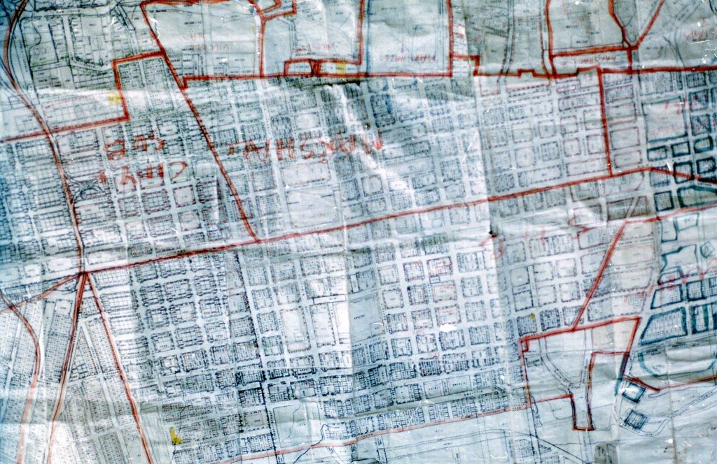
Urban Features Research Project

Start date:
1998
End date:
1998
- Project Description: Theresearch was commissioned for the Johannesburg City Council in order to create a GIS database. The requirement was to document every single building in the old inner city CBD, which was photographed and researched to establish which buildings were historical monuments and the general condition of each building and the documentation in the municipality of each property. In order to compile all the data available, we researched all the council archives to see which buildings had approved plans and to what extent the building complied with the plans approved. This also involved a massive on the ground documentation photographic and written of the condition of each building. The GIS Base would eventually be able to layer all the data related to a single urban lot, from the rates and taxes, monuments council status, health and sanitation, water and lights etc. This research was the beginnings of a GIS map containing all the data for the city to have an understanding for design purposes of the condition of the city which was is in a state of great flux.
- Date:1998
- Client: Johannesburg City Council
- Position: Project Leader
- Responsibilities: Lead the team that went through all the council archives and all the photography and on the ground analysis of each building. Correlated with the senior architects from the monuments council and compiled this data. We produced a data base showing the individual history of every building (2500 buildings) which the city council could then use to fight urban decay, which had already begun taking root.
Categories: